.png)
Geographical of Information System (GIS)
J-Sharp
Technology has been founded by a group of experienced and young technologists
with background in aerospace & geo-informatics engineering. This
Mission of J-Sharp Technology Labs is to provide best in class Data
Visualization and Analysis services Using SLAM technology for Drone Data/Lidar
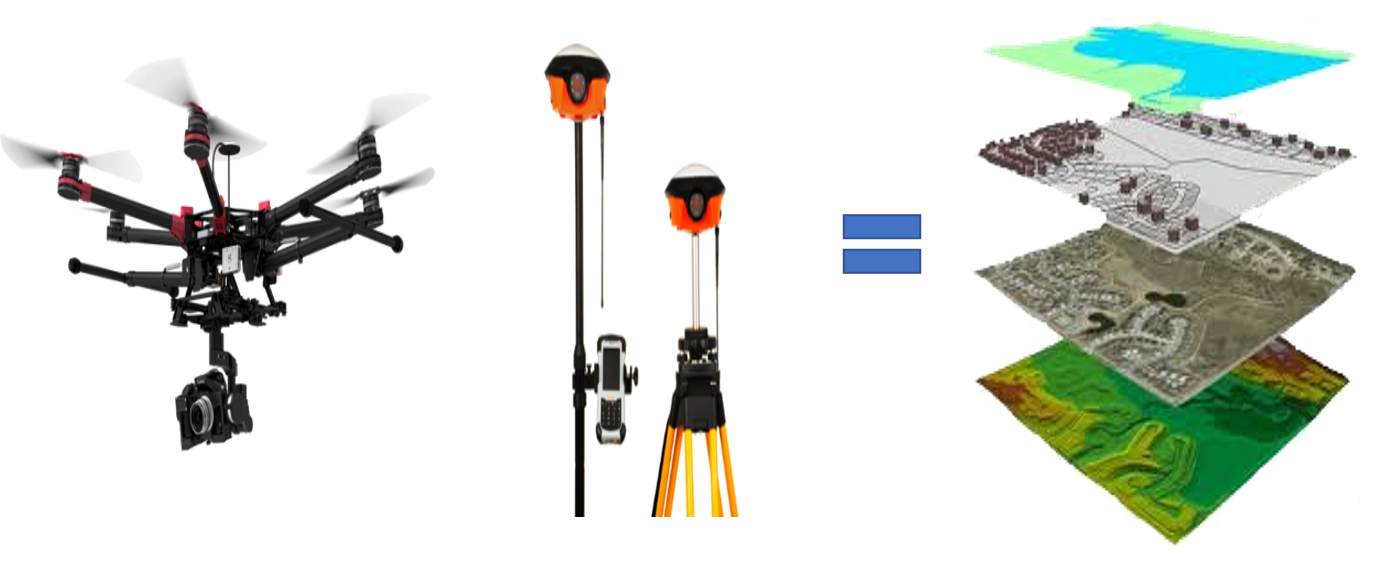
Data. * Drone survey * Door to door data
collection * Mapping & 3DÂ * GEO- Tagging * Digitization * Property
measurement Drone Survey- ·     Â
Whether
its hazardous site or typical river Morphology, our Drones can survey large
area with high precision in a short span of time. ·     Â
Our
DSM, Ortho photo & Contours are accurate down to couple of centimeter which
makes X, Y, Z very easy.  Door to door data collection  In GIS first of all we are
collecting data from households through Mobile App. Mapping & 3D Modle ·     Â
Mapping
zones/areas is an important part of geographic information system, we provide
solutions through accurate Ortho photos & 3D Models of sites.Our
data is compatible with many GIS software like Arc GIS, QGIS, auto CAD etc. SERVICES §Â
Archeological
Site Mapping §Â
Real
Estate 3D Modeling §Â
Mapping
of Coastal Area.                       §Â
Industrial
Zone Mapping. §Â
Flood
Analysis. Digitization After mapping and 3D Model we implement all data and digitalize the map         Property measurementÂ
        After
digitalization we are ready to property measurements.